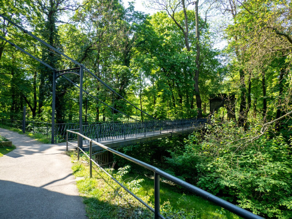
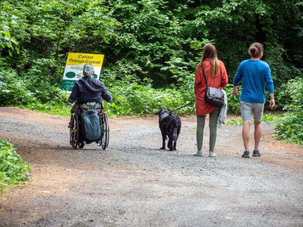
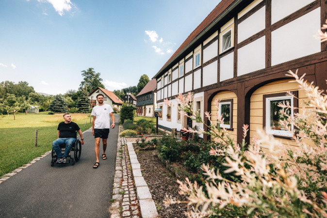
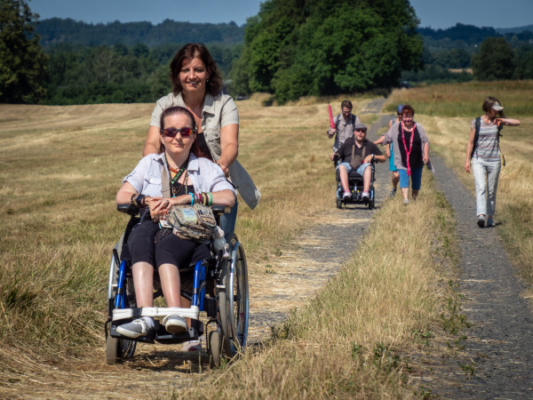
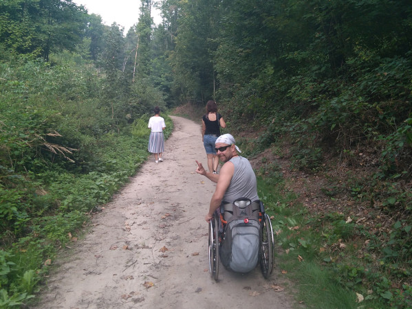
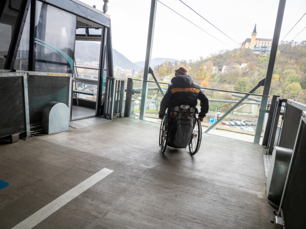
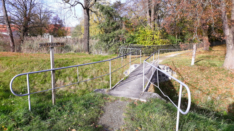
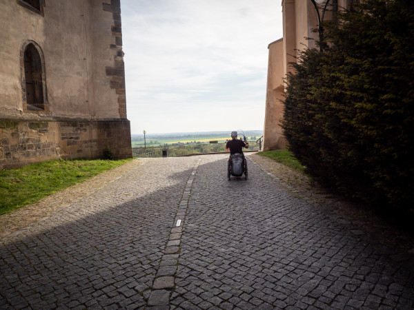
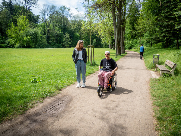
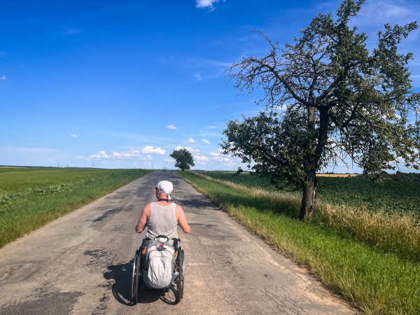
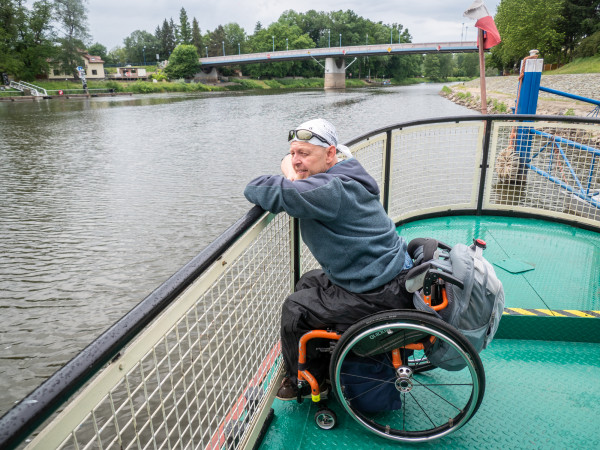
A unique Czech-German project, the aim of which is to map not only barrier-free points, but entire accessible routes – that's Disway Trails. Visit interesting places whether you are a person with special needs, a senior citizen, a parent with a stroller or simply want to enjoy a comfortable holiday without unexpected surprises. All mapped routes can be found in our mobile app.
-
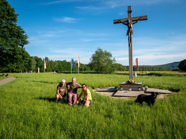
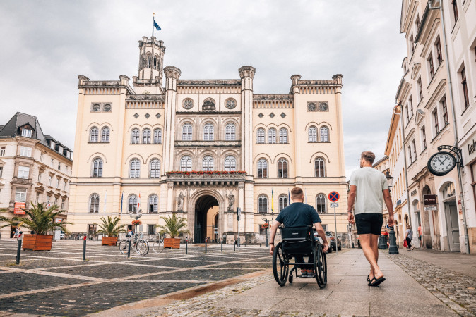
Děčín Walking Circuit

-
Jablonné Basilica – Lemberk
-
Krompach – Hochwald

-
Tripoint

-
Source of the Elbe in the Giant Mountains
-
Zittau „Natur“
-
Herrnhut
-
Großschönau
-
Bautzen
-
Jonsdorf
-
Sohland
-
Harrachov without barriers
-
Zittau „Kultur“
-
Jablonec – Liberec
-
Kyjov valley
-
Děčín – Bad Schandau – Königstein by car
-
Děčín – Bad Schandau
-
Cycle path through the Elbe Canyon
-
Route through Krasnolipsko
-
Debř forest park
-
OC Forum – Větruše – OC Forum
-
Tour of Großhennersdorf village centre
-
Round trip at Bertsdorf railway station
-
Round trip at Querxenland Seifhennersdorf
-
The small circuit of Lidice
-
Lidice – circuit through Pietní territory
-
Zelčín – Mělník
-
Mělník – Zelčín
-
Nymburk - Poděbrady - Slavníkovské hradiště and back
-
Štěpánka Forest Park
-
Benátky n. J. and surroundings
-
Circular walk around the Landeskrone in Görlitz
-
From Poděbrady by boat to Slavníkovci
-
Podkomorskie forests circuit
-
Podkomorské lesy - Ríšova studánka
So far we have mapped the following trails in detail
Děčín Walking Circuit


trail length
duration
Jablonné Basilica – Lemberk

trail length
duration
Krompach – Hochwald
trail length
duration
Tripoint
trail length
duration
Source of the Elbe in the Giant Mountains

trail length
duration
Zittau „Natur“

trail length
duration
Herrnhut

trail length
duration
Großschönau

trail length
duration
Bautzen
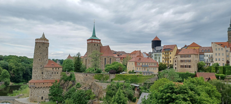
trail length
duration
Jonsdorf
trail length
duration
Sohland
trail length
duration
Harrachov without barriers

trail length
duration
Zittau „Kultur“
trail length
duration
Jablonec – Liberec

trail length
duration
Kyjov valley

trail length
duration
Děčín – Bad Schandau – Königstein by car
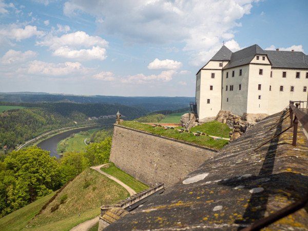
trail length
duration
Děčín – Bad Schandau
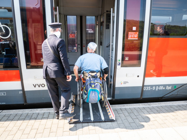
trail length
duration
Cycle path through the Elbe Canyon
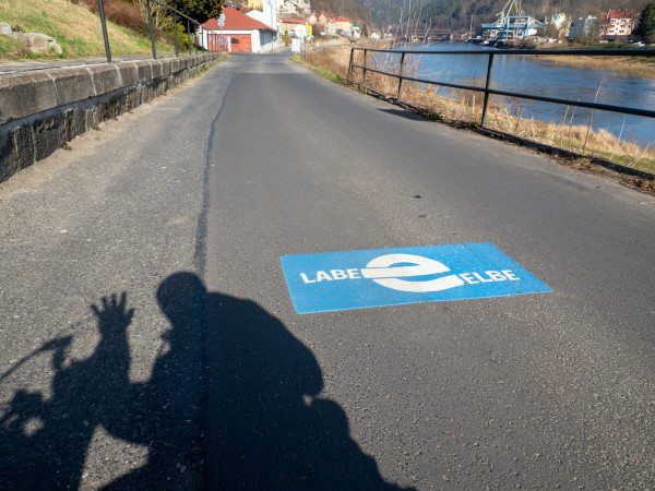
trail length
duration
Route through Krasnolipsko
trail length
duration
Debř forest park
trail length
duration
OC Forum – Větruše – OC Forum
trail length
duration
Tour of Großhennersdorf village centre
trail length
duration
Round trip at Bertsdorf railway station

trail length
duration
Round trip at Querxenland Seifhennersdorf
trail length
duration
The small circuit of Lidice
trail length
duration
Lidice – circuit through Pietní territory
trail length
duration
Zelčín – Mělník
trail length
duration
Mělník – Zelčín
trail length
duration
Nymburk - Poděbrady - Slavníkovské hradiště and back

trail length
duration
Štěpánka Forest Park
trail length
duration
Benátky n. J. and surroundings
trail length
duration
Circular walk around the Landeskrone in Görlitz
trail length
duration
From Poděbrady by boat to Slavníkovci
trail length
duration
Podkomorskie forests circuit
trail length
duration
Podkomorské lesy - Ríšova studánka
trail length
duration
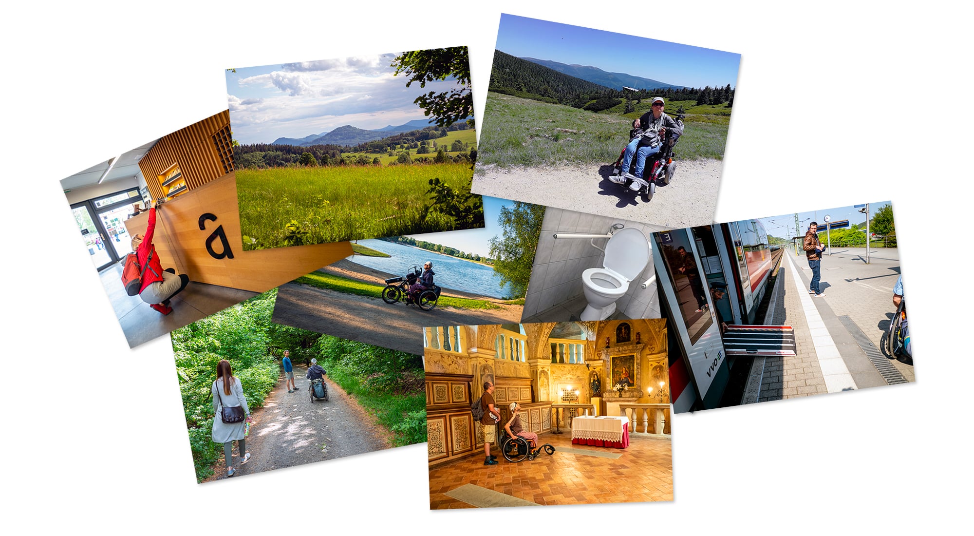
Download the mobile app on your phone
Barrier-free, truly proven trails Available in Czech, German, English.
The idea for a project of mapped routes, i.e. not just points, was born in the minds of the members of the Association for the Support of Travel for the Handicapped in September 2017. Given the experience of running the Disway.org web project, it didn't take long for us to get to work together with our German partners. The project was supported by the European Fund for Regional Development and the Cooperation Program Czech Republic – Free State of Saxony.
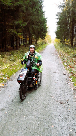
However, just before the creation of Disway Trails, an unexpected, sad event occurred. An enthusiastic wheelchair traveler, founder and programmer of the Disway.org project Jirka Maule, has left us forever. Despite the fate, the members of the association got together and decided to complete the project no matter what. Also for Jirka, his closest, but above all for all disabled travelers.
Walk Disway!
In our opinion, it's more like Go Disway… In the description of the route, you will find the basic characteristics of the trip and the reasons to go on it. And also physical difficulty, which is divided into 4 degrees:
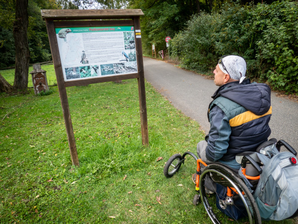
Detailed information and precisely measured data can then be found in the details of each point of interest on the trail. It can contain up to 15 types of so-called objects. For each, we use data collected in forms, in which we monitor up to 300 of the most important parameters. The application will offer you a summary of measured and important values and descriptions of reality. This is not a subjective assessment. The data is real, measured in the field.
For the sake of simplicity, we have summarized the evaluation of the points of interest using colored pictograms so that you can see at a glance how close the place is without barriers:
Data without barriers
And what's more, it's open, publicly available. We are happy to share verified information free of charge in Open Data format to anyone who is interested in it.
Would you like to join us? Get in touch! Do you want to support us? We will be happy to discuss it, write to us!
Those who travel, map and write down detailed trails